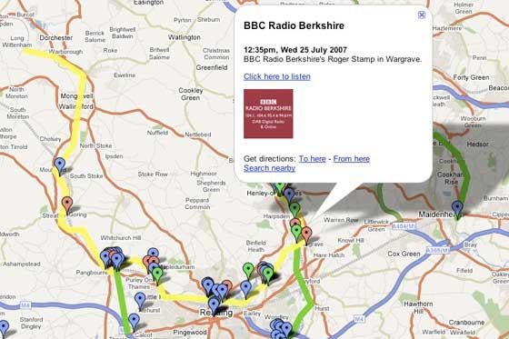
From the eating habits of herons to homicides in Los Angeles, newspapers are using Google Maps to accompany stories, to get readers involved in reporting those stories and to document events in real time online.
As previously reported in Press Gazette, the Grantham Journal is using a map to track a rogue heron that has taken a fancy to the town’s pond life. Readers and journalists plot the heron’s whereabouts.
The LA Times has a map documenting every murder on its patch. It is possible to filter the map using various parameters from cause of death to age and race. The map links to photos and comments, and readers can subscribe to customised RSS feeds from the map.
Thus far, US newspapers have very much led the way in utilising Google Maps, but the UK is catching up. The Daily Telegraph mapped this summer’s GCSE and A-level results. However, for the most part, innovation and inspiration for how newspaper editors and journalists might use maps on the web are to be found outside traditional publishing websites.
There are flight-tracking maps, weather trackers and a blog, Google Maps Mania, dedicated to documenting useful and unusual ways in which the technology is used, including a map that traces the actual locations used in the famous car chase through the streets of San Francisco in the film Bullit.
Other organisations also use Google Earth mapping technology. Google Earth is similar to Google Maps, but it is a downloadable application, whereas Google Maps is purely web-based.
Google itself used Google Earth to map the ‘genocide’in the Darfur region of Sudan. And the North Korean Economy Watch blog has created a Google Earth map of North Korea.
So, how do you get a Google Map on to a newspaper website? Well, you can simply create it and link out to it, as the Grantham Journal does, or you can embed the map into your website by copying the code the map generates.
Either way, you need to create the map first. The pain-free way is to use free services such as Map Builder, Map Maker, YourGMap or Community Walk, all of which will hold your hand through the process.
Alternatively, sign up with Google Maps to gain access to the Maps API, or Application Programming Interface. This is a free beta service. It’s available for use on any website that is free to consumers.
The API allows you to embed maps into your website. You are given a unique key that is associated with your website. There are examples of maps you can browse through to help give you some ideas and direction.
It is technical, but once you understand the basics, it is essentially a copy and paste job. It is possible to include local search within your map, create ‘mapplets’– which means you can embed externally hosted applications – or overlay information such as road traffic, directions or, as The Daily Telegraph, Grantham Journal and LA Times examples illustrate, anything of very specific interest to your readers.
Email pged@pressgazette.co.uk to point out mistakes, provide story tips or send in a letter for publication on our "Letters Page" blog